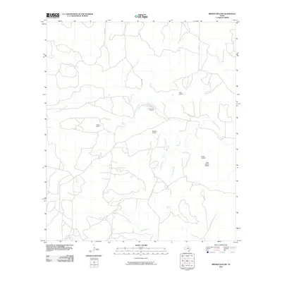
2010 Map of Brewer Hollow
USGS Topo · Published 2010About this map
Bannowsky Cemetery sits near the confluence of several seasonal drainages in this ranching landscape of Kimble County. The terrain is defined by a complex network of draws and hollows, including Walton Draw, Coon Hollow, and the eponymous Brewer Hollow, which channel runoff toward more significant waterways. Water is the primary driver of location names here, with vital points like Walton Spring, Elm Spring, and Cracked Spring emerging across the landscape.
Find a feature on this map
17 named features on this map. Tap any name to fly to it.
Don’t see what you’re looking for? This feature index may not catch every label — zoom into the map to look around manually.
Map Details
Editions of this 2010 Brewer Hollow Map
This is the sole edition of this map. No revisions or reprints were ever made.
Other maps of this area

1954 · Llano
USGS Topo · 1:250,000

1955 · Llano
USGS Topo · 1:250,000

1956 · Llano
USGS Topo · 1:250,000

1968 · London
USGS Topo · 1:24,000

1968 · Yates
USGS Topo · 1:24,000

1970 · Julio Draw
USGS Topo · 1:24,000

1970 · Brewer Hollow
USGS Topo · 1:24,000

1970 · Elm Slough
USGS Topo · 1:24,000

1970 · East Elm Creek
USGS Topo · 1:24,000
1970 · Hext
USGS Topo · 1:24,000