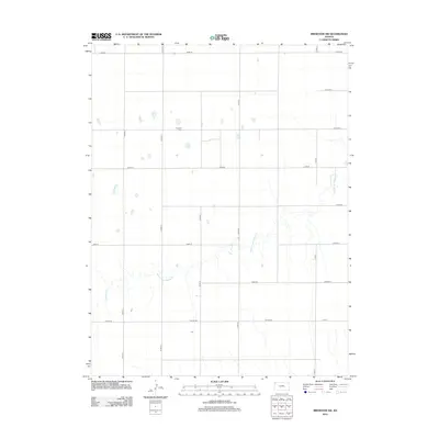
2012 Map of Brewster NW
USGS Topo · Published 2012About this map
Freeland Cem stands as a quiet marker of local genealogy in this portion of Sherman County, where the High Plains landscape is defined by an orderly grid of section-line roads. The drainage of Middle Fork Sappa Cr cuts a winding path through the southern half of the quadrangle, creating the primary topographical variation in an otherwise uniform agricultural expanse. This 2012 survey illustrates the enduring rural structure of the region, where a network of thoroughfares like Road 70 and Peters Rd facilitate movement between distant farmsteads. The map is particularly useful for identifying the specific locations of ephemeral prairie ponds and the precise path of the creek as it flows eastward toward the Republican River basin.
Find a feature on this map
19 named features on this map. Tap any name to fly to it.
Don’t see what you’re looking for? This feature index may not catch every label — zoom into the map to look around manually.
Map Details
Editions of this 2012 Brewster NW Map
This is the sole edition of this map. No revisions or reprints were ever made.
Other maps of this area

1951 · Bird City South
USGS Topo · 1:62,500

1951 · Dewey Ranch
USGS Topo · 1:62,500

1954 · Goodland
USGS Topo · 1:250,000

1956 · Goodland
USGS Topo · 1:250,000

1957 · Goodland
USGS Topo · 1:250,000

1966 · Edson
USGS Topo · 1:24,000

1966 · Goodland NE
USGS Topo · 1:24,000

1966 · Brewster NW
USGS Topo · 1:24,000

1966 · Brewster
USGS Topo · 1:24,000

1966 · Brewster SE
USGS Topo · 1:24,000