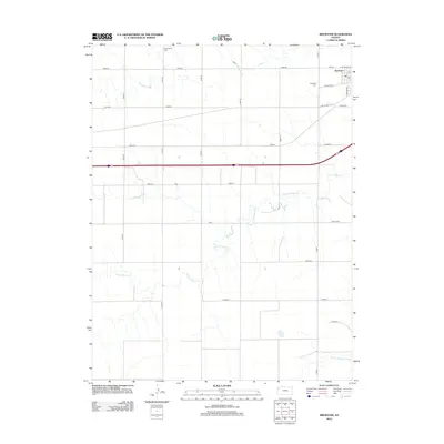
2012 Map of Brewster
USGS Topo · Published 2012About this map
Brewster serves as the primary hub of this High Plains landscape in Thomas County, situated where the grid of sections meets the curves of the S Fork Sappa Cr. The town's layout is defined by the intersection of Kansas Ave and Railroad St, reflecting its historical reliance on the rail corridor that parallels Old US Hwy 24. Beyond the residential clusters, the terrain is partitioned into vast agricultural plots accessed by numbered roads like Road 32 and Road 64. Genealogists will find interest in two local burial sites: the Brewster Cem located just west of town and the more remote Hollenbeck Cem near the northern boundary. In the far southeastern corner, the headwaters of the S Fork Solomon River begin to carve their way through the level fields, marking a subtle shift in the regional drainage pattern.
Find a feature on this map
27 named features on this map. Tap any name to fly to it.
Don’t see what you’re looking for? This feature index may not catch every label — zoom into the map to look around manually.
Map Details
Editions of this 2012 Brewster Map
This is the sole edition of this map. No revisions or reprints were ever made.
Other maps of this area

1954 · Goodland
USGS Topo · 1:250,000

1956 · Goodland
USGS Topo · 1:250,000

1957 · Goodland
USGS Topo · 1:250,000

1959 · Harris Draw
USGS Topo · 1:62,500

1966 · Edson
USGS Topo · 1:24,000

1966 · Goodland NE
USGS Topo · 1:24,000

1966 · Brewster NW
USGS Topo · 1:24,000

1966 · Brewster
USGS Topo · 1:24,000

1966 · Brewster SE
USGS Topo · 1:24,000

1967 · Brewster NE
USGS Topo · 1:24,000