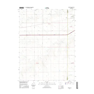
2015 Map of Brewster
USGS Topo · Published 2015About this map
Brewster sits at the intersection of High Plains agriculture and modern transit, straddling the line between Sherman and Thomas Counties. This 2015 survey illustrates a landscape dominated by section-line roads such as Co Rd 66 and Co Rd 65, forming the characteristic grid of the American West. The town's layout is grounded by Manchester St and Railroad St, reflecting its historical reliance on the rail corridor. Local heritage is preserved at Brewster Cem and Hollenbeck Cem, while the natural drainage of the region is defined by the headwaters of the S Fork Sappa Cr and the S Fork Solomon River. The map provides a clear view of how irrigation and transportation infrastructure, including Old Us Hwy 24, continue to shape this portion of the Kansas prairie.
Find a feature on this map
20 named features on this map. Tap any name to fly to it.
Don’t see what you’re looking for? This feature index may not catch every label — zoom into the map to look around manually.
Map Details
Editions of this 2015 Brewster Map
This is the sole edition of this map. No revisions or reprints were ever made.
Other maps of this area

1954 · Goodland
USGS Topo · 1:250,000

1956 · Goodland
USGS Topo · 1:250,000

1957 · Goodland
USGS Topo · 1:250,000

1959 · Harris Draw
USGS Topo · 1:62,500

1966 · Edson
USGS Topo · 1:24,000

1966 · Goodland NE
USGS Topo · 1:24,000

1966 · Brewster NW
USGS Topo · 1:24,000

1966 · Brewster
USGS Topo · 1:24,000

1966 · Brewster SE
USGS Topo · 1:24,000

1967 · Brewster NE
USGS Topo · 1:24,000