
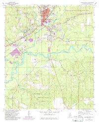
1960 Map of Brewton South
USGS Topo · Published 1961About this map
Brewton and its sister city East Brewton serve as the focal point of this 1960 survey, situated at the confluence of Murder Creek and the Conecuh River. The mapping shows the transition from the bustling county seat, featuring the Court House and City Hall, to the expansive timberlands of the Escambia National Experimental Forest to the south. The landscape is defined by the winding river path and the infrastructure of the Louisville and Nashville railroad, which historically drove the region's commerce.
Find a feature on this map
62 named features on this map. Tap any name to fly to it.
Don’t see what you’re looking for? This feature index may not catch every label — zoom into the map to look around manually.
Map Details
Editions of this 1960 Brewton South Map
2 editions found
Other maps of this area

1943 · Jay
USGS Topo · 1:62,500

1948 · Munson
USGS Topo · 1:62,500

1950 · Munson
USGS Topo · 1:62,500

1953 · Andalusia
USGS Topo · 1:250,000

1957 · Andalusia
USGS Topo · 1:250,000

1957 · Pensacola
USGS Topo · 1:250,000

1959 · Pensacola
USGS Topo · 1:250,000

1959 · Brewton South
USGS Topo · 1:24,000

1960 · Pensacola
USGS Topo · 1:250,000

1960 · Pollard
USGS Topo · 1:24,000