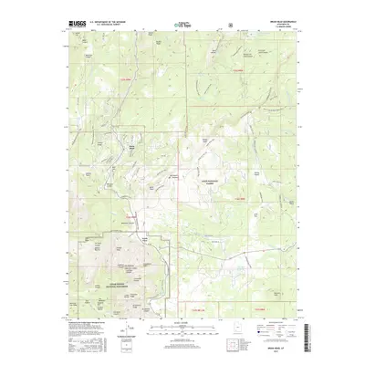
2017 Map of Brian Head
USGS Topo · Published 2017About this map
Brian Head and the surrounding high-country terrain of the Markagunt Plateau are detailed here, illustrating the intersection of resort development and protected federal lands in the 21st century. The map shows the dense network of modern residential streets like Ridgeview St and Eagles Roost St alongside the extensive recreational infrastructure of the Dixie National Forest. This includes a complex system of hiking and winter sports paths such as the Brianhead Snowmobile Trail and Mace's Run Trail.
Find a feature on this map
105 named features on this map. Tap any name to fly to it.
Don’t see what you’re looking for? This feature index may not catch every label — zoom into the map to look around manually.
Map Details
Editions of this 2017 Brian Head Map
This is the sole edition of this map. No revisions or reprints were ever made.
Other maps of this area

1886 · Kanab
USGS Topo · 1:250,000

1953 · Cedar City
USGS Topo · 1:250,000

1958 · Cedar City
USGS Topo · 1:250,000

1958 · Cedar Breaks
USGS Topo · 1:62,500

1958 · Panguitch Lake
USGS Topo · 1:62,500

1962 · Cedar City
USGS Topo · 1:250,000
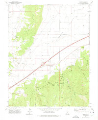
1971 · Summit
USGS Topo · 1:24,000

1971 · Parowan
USGS Topo · 1:24,000
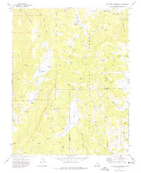
1971 · Red Creek Reservoir
USGS Topo · 1:24,000

1980 · Panguitch
USGS Topo · 1:100,000