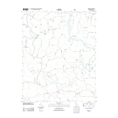
2011 Map of Briar
USGS Topo · Published 2011About this map
The Current River carves a winding path through this corner of the Ozarks, creating a series of notable river features such as Round Bay, Dark Bay, and the deep water of Bay Mill Eddy. These riparian corridors historically defined local movement, with the Deer Leap area now serving as a recreational anchor at Deer Leap Campground. High points like Macedonia Lookout and Fuse Hill watch over a landscape defined by an intricate network of hollows, including Tar Kiln Hollow and Possum Hollow.
Find a feature on this map
58 named features on this map. Tap any name to fly to it.
Don’t see what you’re looking for? This feature index may not catch every label — zoom into the map to look around manually.
Map Details
Editions of this 2011 Briar Map
This is the sole edition of this map. No revisions or reprints were ever made.
Other maps of this area
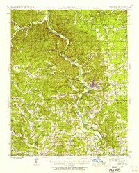
1939 · Doniphan
USGS Topo · 1:62,500
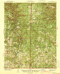
1941 · Gatewood
USGS Topo · 1:62,500
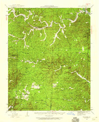
1944 · Van Buren
USGS Topo · 1:62,500
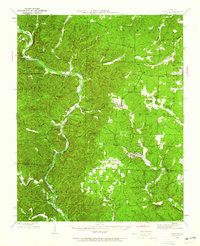
1944 · Grandin
USGS Topo · 1:62,500
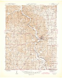
1945 · Doniphan
USGS Topo · 1:62,500
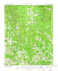
1945 · Gatewood
USGS Topo · 1:62,500
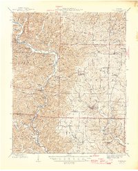
1946 · Grandin
USGS Topo · 1:62,500
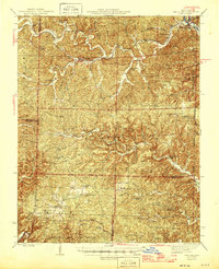
1946 · Van Buren
USGS Topo · 1:62,500

1957 · Poplar Bluff
USGS Topo · 1:250,000
1959 · Poplar Bluff
USGS Topo · 1:250,000