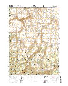
2014 Map of Bridge Creek Draw
USGS Topo · Published 2014About this map
Fremont National Forest defines the high-altitude landscape of this Oregon interior, where a network of springs and man-made water catchments support the local ranching economy. The drainage of Bridge Creek Draw and the flat expanse of Cashow Flat characterize the terrain, while reliable water sources like Freeman Spring, Lundy Spring, and Thirteenmile Spring anchor the land's utility. Human presence is marked by ranching infrastructure and forest service routes, including Pitcher Rnch and Sphar Ranch Rd. The inclusion of Basalt Reservoir and Spring Reservoir suggests a managed water system designed to sustain life in this arid volcanic landscape. This survey documents the intersection of public forest management and private ranching interests in Lake County during the early 21st century.
Find a feature on this map
35 named features on this map. Tap any name to fly to it.
Don’t see what you’re looking for? This feature index may not catch every label — zoom into the map to look around manually.
Map Details
Editions of this 2014 Bridge Creek Draw Map
This is the sole edition of this map. No revisions or reprints were ever made.
Other maps of this area

1889 · Klamath
USGS Topo · 1:250,000

1894 · Klamath
USGS Topo · 1:250,000

1955 · Crescent
USGS Topo · 1:250,000

1955 · Klamath Falls
USGS Topo · 1:250,000

1957 · Crescent
USGS Topo · 1:250,000

1958 · Crescent
USGS Topo · 1:250,000

1958 · Klamath Falls
USGS Topo · 1:250,000

1960 · Sycan Marsh
USGS Topo · 1:62,500

1960 · Yamsay Mountain
USGS Topo · 1:62,500

1968 · Silver Lake
USGS Topo · 1:24,000