
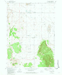
1968 Map of Silver Lake
USGS Topo · Published 1971About this map
The high desert ranching landscape of southern Oregon is centered here on the small community of Silver Lake and the vast hydrologic system of the Paulina Marsh. In the late 1960s, this area functioned as a vital hub for the regional livestock industry, evidenced by the numerous named properties such as the ZX Ranch, Johnson Ranch, and Porter Ranch. The map illustrates a complex network of drainage, where Silver Creek, Buck Creek, and Bunyard Creek feed into the marshy lowlands. Beyond the settlement, the Silver Lake Ranger Station and a local Landing Strip indicate the administrative and logistical importance of this outpost. This survey captures a moment when the local economy was deeply tied to the seasonal waters of the marsh and the surrounding range, punctuated by small-scale industrial sites like a Cinder Pit and several gravel excavations used for maintaining the remote Silver Lake Road.
Find a feature on this map
21 named features on this map. Tap any name to fly to it.
Don’t see what you’re looking for? This feature index may not catch every label — zoom into the map to look around manually.
Map Details
Editions of this 1968 Silver Lake Map
2 editions found
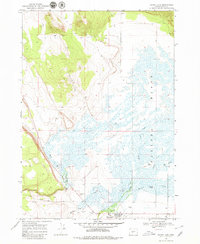
Other maps of this area

1955 · Crescent
USGS Topo · 1:250,000

1957 · Crescent
USGS Topo · 1:250,000

1958 · Crescent
USGS Topo · 1:250,000

1968 · Oatman Flat
USGS Topo · 1:24,000
1968 · Hager Mtn
USGS Topo · 1:24,000
1968 · Bridge Creek Draw
USGS Topo · 1:24,000

1970 · Crescent
USGS Topo · 1:250,000

1979 · Crescent
USGS Topo · 1:100,000
1981 · Tuff Butte
USGS Topo · 1:24,000
1981 · Fort Rock
USGS Topo · 1:24,000