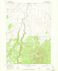
1968 Map of Hager Mtn
USGS Topo · Published 1971About this map
Silver Creek flows through this high-elevation landscape within the Fremont National Forest, where the transition from ranching valleys to volcanic peaks is clearly defined. The terrain is marked by significant topographical landmarks such as Mahogany Mtn and Hager Mtn, the latter featuring a dedicated lookout station. For those researching local history or land use, the presence of the Old Indian Treaty Bdy cutting across the southern portion provides a specific historical reference for early regional boundaries.
Find a feature on this map
18 named features on this map. Tap any name to fly to it.
Don’t see what you’re looking for? This feature index may not catch every label — zoom into the map to look around manually.
Map Details
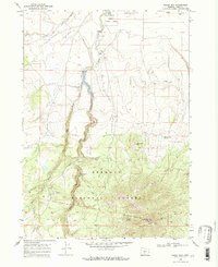
Editions of this 1968 Hager Mtn Map
2 editions found
Other maps of this area

1889 · Klamath
USGS Topo · 1:250,000

1894 · Klamath
USGS Topo · 1:250,000

1955 · Crescent
USGS Topo · 1:250,000

1955 · Klamath Falls
USGS Topo · 1:250,000

1957 · Crescent
USGS Topo · 1:250,000

1958 · Crescent
USGS Topo · 1:250,000

1958 · Klamath Falls
USGS Topo · 1:250,000

1960 · Sycan Marsh
USGS Topo · 1:62,500

1966 · Foster Butte
USGS Topo · 1:24,000

1968 · Silver Lake
USGS Topo · 1:24,000