
1966 Map of Foster Butte
USGS Topo · Published 1968About this map
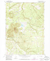
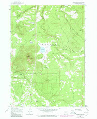
The Old Indian Treaty Boundary cuts a historic diagonal line across this high-desert landscape in Lake County, Oregon. Located within the Fremont National Forest, the area is defined by volcanic features like Foster Butte and industrial sites including a Cinder Pit and Quarry. This 1960s survey documents a working cattle and forestry range where water sources were critical for survival and commerce. Specialized infrastructure such as the McCall Dipping Vat Spring and Sherlock Dipping Vat Spring indicate the region's ranching heritage, providing locations for livestock treatment. Seasonal water bodies like Foster Lake, Grassy Lake, and Buckaroo Lake dot the terrain, which transitions from the open New England Flat to the more sheltered Foster Meadow.
Find a feature on this map
31 named features on this map. Tap any name to fly to it.
Don’t see what you’re looking for? This feature index may not catch every label — zoom into the map to look around manually.
Map Details
Editions of this 1966 Foster Butte Map
3 editions found
Other maps of this area

1889 · Klamath
USGS Topo · 1:250,000

1894 · Klamath
USGS Topo · 1:250,000

1955 · Crescent
USGS Topo · 1:250,000

1955 · Klamath Falls
USGS Topo · 1:250,000

1957 · Crescent
USGS Topo · 1:250,000

1958 · Crescent
USGS Topo · 1:250,000

1958 · Klamath Falls
USGS Topo · 1:250,000

1960 · Sycan Marsh
USGS Topo · 1:62,500

1966 · Summer Lake
USGS Topo · 1:24,000

1966 · Fremont Point
USGS Topo · 1:24,000