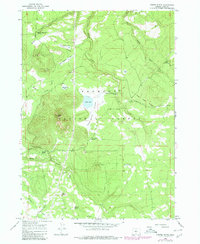
1966 Map of Foster Butte
USGS Topo · Published 1986About this map
Fremont National Forest dominates this high-altitude landscape in Lake County, defined by a complex network of seasonal drainage and watering points essential for ranching and livestock. The map traces the Old Indian Treaty Boundary as it cuts across the northern terrain, a significant historical line separating administrative and tribal interests. Land use is evidenced by several utilitarian features such as the McCall Dipping Vat Spring and Sherlock Dipping Vat Spring, which highlight the area's history of sheep or cattle grazing.
Find a feature on this map
30 named features on this map. Tap any name to fly to it.
Don’t see what you’re looking for? This feature index may not catch every label — zoom into the map to look around manually.
Map Details
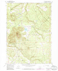
Editions of this 1966 Foster Butte Map
3 editions found

Other maps of this area

1889 · Klamath
USGS Topo · 1:250,000

1894 · Klamath
USGS Topo · 1:250,000

1955 · Crescent
USGS Topo · 1:250,000

1955 · Klamath Falls
USGS Topo · 1:250,000

1957 · Crescent
USGS Topo · 1:250,000

1958 · Crescent
USGS Topo · 1:250,000

1958 · Klamath Falls
USGS Topo · 1:250,000

1960 · Sycan Marsh
USGS Topo · 1:62,500

1966 · Summer Lake
USGS Topo · 1:24,000

1966 · Fremont Point
USGS Topo · 1:24,000