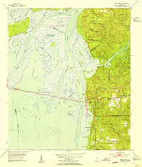
1953 Map of Bridgehead
USGS Topo · Published 1954About this map
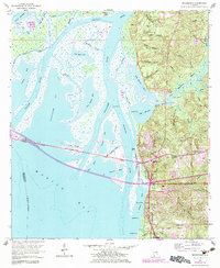
Civil War Trenches and historic earthworks at Spanish Fort and Fort McDermott define the high ground overlooking the delta, reflecting this landscape’s strategic military importance. The eastern shoreline of Mobile Bay transitions from the marshy lowlands of Blakeley Island and the Apalachee River to the settled bluffs of Bridgehead and The Village. This mid-century coastal survey documents the convergence of historical routes, showing the Old Spanish Trail meeting the Cochrane Bridge over the complex network of the Tensaw River and Chacaloochee Bay. Significant for genealogists, the map locates the Blakeley Cem near the site of the former town of Blakeley, as well as the D'Olive Cem further south near Park City. This interplay of tidal wetlands and established upland communities illustrates the region’s development before major modern expansion.
Find a feature on this map
65 named features on this map. Tap any name to fly to it.
Don’t see what you’re looking for? This feature index may not catch every label — zoom into the map to look around manually.
Map Details
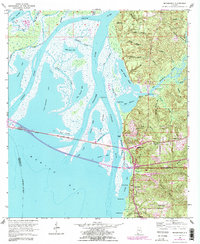
Editions of this 1953 Bridgehead Map
6 editions found
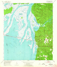
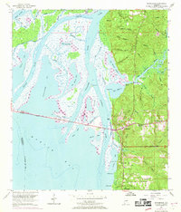
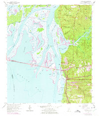
Other maps of this area

1921 · Fairhope
USGS Topo · 1:62,500

1922 · Mobile
USGS Topo · 1:62,500

1939 · Daphne
USGS Topo · 1:31,680

1940 · Silverhill
USGS Topo · 1:31,680

1940 · Hollingers Island
USGS Topo · 1:31,680

1940 · Mobile
USGS Topo · 1:31,680

1940 · Mobile
USGS Topo · 1:62,500

1941 · Chickasaw
USGS Topo · 1:31,680

1941 · Daphne
USGS Topo · 1:31,680

1941 · Silverhill
USGS Topo · 1:31,680