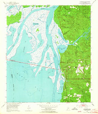
1953 Map of Bridgehead
USGS Topo · Published 1964About this map
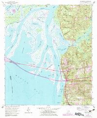
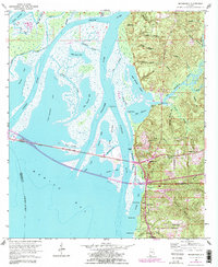
Spanish Fort and the surrounding fortifications anchor the eastern heights of this coastal survey, where the bluffs of Baldwin County meet the expansive delta of Mobile Bay. The landscape is a complex network of marshes and waterways, including the Apalachee River and Tensaw River, framing the historic site of Blakeley. Traces of conflict and defense are etched into the terrain, from Civil War Trenches and Kings Battery to Fort McDermott, indicating the strategic military importance of these heights overlooking the bay.
Find a feature on this map
63 named features on this map. Tap any name to fly to it.
Don’t see what you’re looking for? This feature index may not catch every label — zoom into the map to look around manually.
Map Details
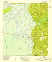
Editions of this 1953 Bridgehead Map
6 editions found
Other maps of this area

1921 · Fairhope
USGS Topo · 1:62,500

1922 · Mobile
USGS Topo · 1:62,500

1939 · Daphne
USGS Topo · 1:31,680

1940 · Silverhill
USGS Topo · 1:31,680

1940 · Hollingers Island
USGS Topo · 1:31,680

1940 · Mobile
USGS Topo · 1:31,680

1940 · Mobile
USGS Topo · 1:62,500

1941 · Chickasaw
USGS Topo · 1:31,680

1941 · Daphne
USGS Topo · 1:31,680

1941 · Silverhill
USGS Topo · 1:31,680