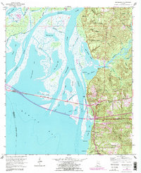
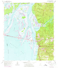
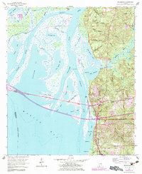
1953 Map of Bridgehead
USGS Topo · Published 1983About this map
The historical Blakeley site and its surrounding military history dominate the northeastern terrain of this map, where Civil War Trenches and Kings Battery remain as significant landmarks. The landscape is defined by the complex aquatic network of the Tensaw River, Apalachee River, and the northern reaches of Mobile Bay. This area reflects a deep layering of transportation history, from the Old Spanish Trail to the mid-century engineering of the Cochrane Bridge.
Find a feature on this map
73 named features on this map. Tap any name to fly to it.
Don’t see what you’re looking for? This feature index may not catch every label — zoom into the map to look around manually.
Map Details
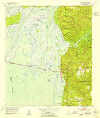
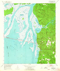
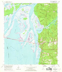
Editions of this 1953 Bridgehead Map
6 editions found
Other maps of this area

1921 · Fairhope
USGS Topo · 1:62,500

1922 · Mobile
USGS Topo · 1:62,500

1939 · Daphne
USGS Topo · 1:31,680

1940 · Silverhill
USGS Topo · 1:31,680

1940 · Hollingers Island
USGS Topo · 1:31,680

1940 · Mobile
USGS Topo · 1:31,680

1940 · Mobile
USGS Topo · 1:62,500

1941 · Chickasaw
USGS Topo · 1:31,680

1941 · Daphne
USGS Topo · 1:31,680

1941 · Silverhill
USGS Topo · 1:31,680