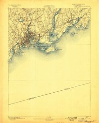
1893 Map of Bridgeport
USGS Topo · Published 1898About this map
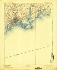
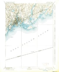
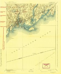
The Bridgeport coastline at the end of the 19th century reveals a bustling industrial landscape defined by deep-water inlets and burgeoning rail infrastructure. The city center and East Bridgeport are densely platted, while the surrounding hills like Stratford Hill and Success Hill remain largely undeveloped. Significant waterpower and industrial sites are evident along the Rooster River and Island Brook, featuring features such as Berkshire Mill Pond and Moody's Mill Pond. Along the shore, the New York New Haven and Hartford Railroad serves as the region's backbone, crossing the Housatonic River at Naugatuck Junction. The map preserves the late-Victorian landscape of Beardsley Park and Seaside Park, contrasted against the natural marshes of The Gut and the barrier beaches at Long Beach.
Find a feature on this map
51 named features on this map. Tap any name to fly to it.
Don’t see what you’re looking for? This feature index may not catch every label — zoom into the map to look around manually.
Map Details
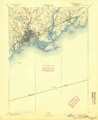
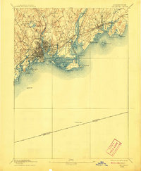
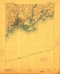
Editions of this 1893 Bridgeport Map
8 editions found
Other maps of this area

1889 · Derby
USGS Topo · 1:62,500

1891 · Bridgeport
USGS Topo · 1:62,500

1891 · Derby
USGS Topo · 1:62,500

1892 · New Haven
USGS Topo · 1:62,500

1892 · Danbury
USGS Topo · 1:62,500

1892 · Norwalk
USGS Topo · 1:62,500

1893 · Bridgeport
USGS Topo · 1:62,500

1893 · Norwalk
USGS Topo · 1:62,500

1893 · Derby
USGS Topo · 1:62,500

1901 · Northport
USGS Topo · 1:62,500