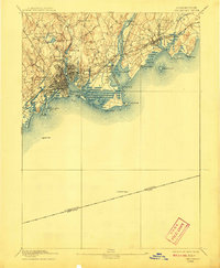
1893 Map of Bridgeport
USGS Topo · Published 1908About this map
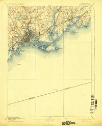
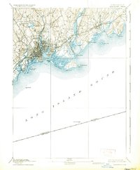
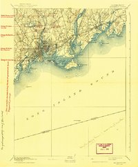
The industrial and maritime core of Bridgeport is captured here during the late nineteenth century, showing a city defined by its relationship with the Long Island Sound and the Housatonic River. The landscape is heavily structured by the New York New Haven and Hartford Railroad, which cuts through the urban grid and links the central hub to Milford and Stratford. Several inland water bodies, such as Moodys Mill Pond and Stillman Pond, hint at the historical reliance on water power for local milling and manufacturing before modern expansion. Along the shoreline, the geography is punctuated by significant navigational markers, including the Penfield Reef L.H. and the Stratford Shoal L.H., which protected the busy trade routes of the sound. This survey also records the older rural character of the interior at Nichols Farms and Trumbull before these areas were fully absorbed by twentieth-century suburbanization.
Find a feature on this map
55 named features on this map. Tap any name to fly to it.
Don’t see what you’re looking for? This feature index may not catch every label — zoom into the map to look around manually.
Map Details
Editions of this 1893 Bridgeport Map
8 editions found
Other maps of this area

1889 · Derby
USGS Topo · 1:62,500

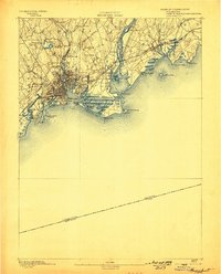
1891 · Bridgeport
USGS Topo · 1:62,500

1891 · Derby
USGS Topo · 1:62,500

1892 · New Haven
USGS Topo · 1:62,500

1892 · Danbury
USGS Topo · 1:62,500

1892 · Norwalk
USGS Topo · 1:62,500

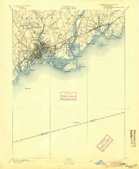
1893 · Bridgeport
USGS Topo · 1:62,500

1893 · Norwalk
USGS Topo · 1:62,500

1893 · Derby
USGS Topo · 1:62,500

1901 · Northport
USGS Topo · 1:62,500