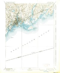
1893 Map of Bridgeport
USGS Topo · Published 1935About this map
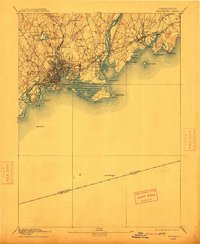
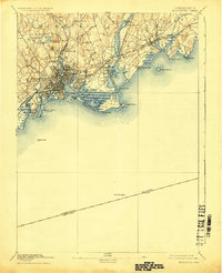
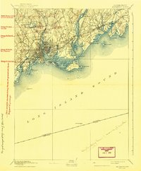
The industrial and maritime core of Fairfield County is documented here at the height of its Victorian-era development. The city of Bridgeport and the adjacent industrial districts of East Bridgeport and Black Rock show a dense grid of streets and wharves concentrated around the harbor. In this period, the New York New Haven and Hartford Railroad dominates the coastal corridor, crossing the Housatonic River and connecting major centers like Stratford and Milford.
Find a feature on this map
58 named features on this map. Tap any name to fly to it.
Don’t see what you’re looking for? This feature index may not catch every label — zoom into the map to look around manually.
Map Details
Editions of this 1893 Bridgeport Map
8 editions found
Other maps of this area

1889 · Derby
USGS Topo · 1:62,500

1891 · Bridgeport
USGS Topo · 1:62,500

1891 · Derby
USGS Topo · 1:62,500

1892 · New Haven
USGS Topo · 1:62,500

1892 · Danbury
USGS Topo · 1:62,500

1892 · Norwalk
USGS Topo · 1:62,500

1893 · Bridgeport
USGS Topo · 1:62,500

1893 · Norwalk
USGS Topo · 1:62,500

1893 · Derby
USGS Topo · 1:62,500

1901 · Northport
USGS Topo · 1:62,500