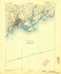
1893 Map of Bridgeport
USGS Topo · Published 1904About this map
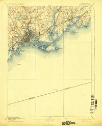
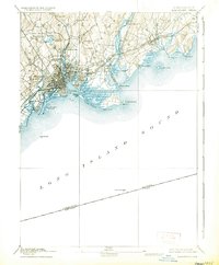
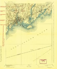
Bridgeport sits at the center of a dense industrial and maritime corridor, defined by its complex harbor and the intensive rail network of the late 19th century. The city core is a grid of streets and wharves, flanked by East Bridgeport and Black Rock, with recreational escapes like Seaside Park and Beardsley Park already established. The Housatonic River serves as a major geographical divider, bridged by the New York New Haven and Hartford Railroad, which dominated the local economy and transport. Moving inland, the landscape transitions toward the hills of Trumbull and the smaller settlement at Nichols Farms. Coastal navigation is meticulously documented through markers like the Stratford Point Light and Penfield Reef L.H., while tidal features such as The Gut and Long Beach reveal the pre-development shoreline before 20th-century alterations.
Find a feature on this map
66 named features on this map. Tap any name to fly to it.
Don’t see what you’re looking for? This feature index may not catch every label — zoom into the map to look around manually.
Map Details
Editions of this 1893 Bridgeport Map
8 editions found
Other maps of this area

1889 · Derby
USGS Topo · 1:62,500

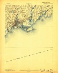
1891 · Bridgeport
USGS Topo · 1:62,500

1891 · Derby
USGS Topo · 1:62,500

1892 · New Haven
USGS Topo · 1:62,500

1892 · Danbury
USGS Topo · 1:62,500

1892 · Norwalk
USGS Topo · 1:62,500

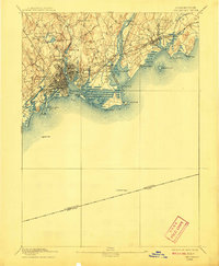
1893 · Bridgeport
USGS Topo · 1:62,500

1893 · Norwalk
USGS Topo · 1:62,500

1893 · Derby
USGS Topo · 1:62,500

1901 · Northport
USGS Topo · 1:62,500