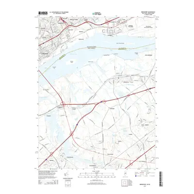
2014 Map of Bridgeport
USGS Topo · Published 2014About this map
The Delaware River serves as the central artery for this industrial and residential landscape, dividing Pennsylvania's Delaware County from New Jersey's Gloucester County. On the northern shore, the urban density of Chester and Ridley Park is evident, centered around the Widener University-Main Campus and critical transport corridors like the Industrial Hwy. This 2014 survey documents the modern footprint of the Philadelphia International Airport on the far eastern edge, while identifying local landmarks such as Rural Cem and Crum Lynne.
Find a feature on this map
73 named features on this map. Tap any name to fly to it.
Don’t see what you’re looking for? This feature index may not catch every label — zoom into the map to look around manually.
Map Details
Editions of this 2014 Bridgeport Map
This is the sole edition of this map. No revisions or reprints were ever made.
Other maps of this area

1890 · Salem
USGS Topo · 1:62,500

1890 · Glassboro
USGS Topo · 1:62,500

1891 · Philadelphia
USGS Topo · 1:62,500

1894 · Chester
USGS Topo · 1:62,500

1894 · Philadelphia
USGS Topo · 1:62,500

1896 · Philadelphia
USGS Topo · 1:62,500

1896 · Chester
USGS Topo · 1:62,500

1898 · Salem
USGS Topo · 1:62,500

1898 · Glassboro
USGS Topo · 1:62,500

1898 · Chester
USGS Topo · 1:62,500