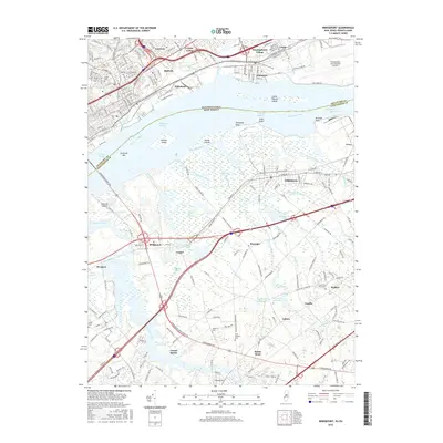
2016 Map of Bridgeport
USGS Topo · Published 2016About this map
Widener University-Main Campus anchors the northern urban landscape near the industrial waterfronts of Eddystone and Baldwin, Pennsylvania. Across the Delaware River, the New Jersey shore transitions from the heavy rail corridors of Gibbstown and Bridgeport into a complex network of wetlands and tidal channels including Repaupo Creek, Aunt Debs Ditch, and the Old Canal. The proximity to the Philadelphia International Airport and the massive infrastructure of the Commodore Barry Bridge highlights the area's role as a critical transportation hub. Away from the river, the landscape softens into agricultural and residential pockets like Repaupo and Asbury, where local heritage is preserved in sites such as Solomons Graveyard and Saint Josephs Cem. This 2016 survey captures the persistent industrial character of the river banks alongside the preserved marshlands of Little Tinicum Island and Monds Island.
Find a feature on this map
81 named features on this map. Tap any name to fly to it.
Don’t see what you’re looking for? This feature index may not catch every label — zoom into the map to look around manually.
Map Details
Editions of this 2016 Bridgeport Map
This is the sole edition of this map. No revisions or reprints were ever made.
Other maps of this area

1890 · Salem
USGS Topo · 1:62,500

1890 · Glassboro
USGS Topo · 1:62,500

1891 · Philadelphia
USGS Topo · 1:62,500

1894 · Chester
USGS Topo · 1:62,500

1894 · Philadelphia
USGS Topo · 1:62,500

1896 · Philadelphia
USGS Topo · 1:62,500

1896 · Chester
USGS Topo · 1:62,500

1898 · Salem
USGS Topo · 1:62,500

1898 · Glassboro
USGS Topo · 1:62,500

1898 · Chester
USGS Topo · 1:62,500