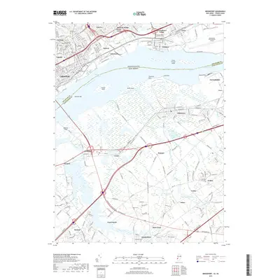
2019 Map of Bridgeport
USGS Topo · Published 2019About this map
Chester and its industrial riverfront dominate the northern half of this 2019 survey, where the Delaware River serves as the dividing line between Pennsylvania and New Jersey. The Pennsylvania side is densely populated, featuring the campus of Widener University and a concentration of significant historical sites, including Saint Michaels Roman Catholic Cem and Saint Pauls Burying Ground. In contrast, the New Jersey side near Bridgeport and Repaupo reveals a landscape defined by water management and drainage, marked by features like Old Canal, White Sluice Race, and Aunt Debs Ditch. This transition from the urban density of Eddystone and Ridley Park to the marshy lowlands of Gloucester Co illustrates the varied development patterns of the region, from early mill sites like Hendrickson Millpond to the sprawling modern infrastructure of Philadelphia International Airport.
Find a feature on this map
231 named features on this map. Tap any name to fly to it.
Don’t see what you’re looking for? This feature index may not catch every label — zoom into the map to look around manually.
Map Details
Editions of this 2019 Bridgeport Map
This is the sole edition of this map. No revisions or reprints were ever made.
Other maps of this area

1890 · Salem
USGS Topo · 1:62,500

1890 · Glassboro
USGS Topo · 1:62,500

1891 · Philadelphia
USGS Topo · 1:62,500

1894 · Chester
USGS Topo · 1:62,500

1894 · Philadelphia
USGS Topo · 1:62,500

1896 · Philadelphia
USGS Topo · 1:62,500

1896 · Chester
USGS Topo · 1:62,500

1898 · Salem
USGS Topo · 1:62,500

1898 · Glassboro
USGS Topo · 1:62,500

1898 · Chester
USGS Topo · 1:62,500