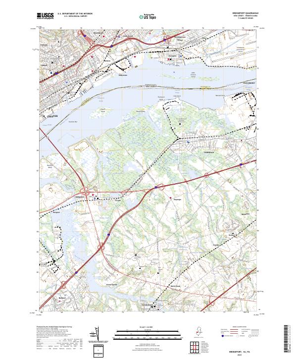
2023 Map of Bridgeport
USGS Topo · Published 2023About this map
Delaware River serves as the central artery for this industrial corridor, separating the densely developed boroughs of Pennsylvania from the expansive marshlands and agricultural stretches of New Jersey. On the northern shore, the grid patterns of Chester and Eddystone reflect centuries of urban growth, while smaller worker enclaves like Westinghouse Village and Lester dot the landscape near the Philadelphia International Airport. This portion of the river is a high-traffic maritime zone, marked by the Eddystone Range and Billingsport Range navigation channels.
Find a feature on this map
92 named features on this map. Tap any name to fly to it.
Don’t see what you’re looking for? This feature index may not catch every label — zoom into the map to look around manually.
Map Details
Editions of this 2023 Bridgeport Map
This is the sole edition of this map. No revisions or reprints were ever made.
Other maps of this area

1890 · Salem
USGS Topo · 1:62,500

1890 · Glassboro
USGS Topo · 1:62,500

1891 · Philadelphia
USGS Topo · 1:62,500

1894 · Chester
USGS Topo · 1:62,500

1894 · Philadelphia
USGS Topo · 1:62,500

1896 · Philadelphia
USGS Topo · 1:62,500

1896 · Chester
USGS Topo · 1:62,500

1898 · Salem
USGS Topo · 1:62,500

1898 · Glassboro
USGS Topo · 1:62,500

1898 · Chester
USGS Topo · 1:62,500