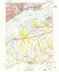
1953 Map of Bridgeport
USGS Topo · Published 1955About this map
Industrial corridors and marshlands define the mid-century landscape along the Delaware River, where the bustling city of Chester faces the tidal wetlands of Gloucester County. The map details a heavy-industry hub, featuring the Refinery at Paulsboro and the Sewage Disposal and Waterworks infrastructure supporting the growing riverfront. Higher ground in Pennsylvania is dense with institutional history, from the Pennsylvania Military College and Crozier Seminary to civic landmarks like the Art Gallery and Armory.
Find a feature on this map
91 named features on this map. Tap any name to fly to it.
Don’t see what you’re looking for? This feature index may not catch every label — zoom into the map to look around manually.
Map Details
Editions of this 1953 Bridgeport Map
2 editions found
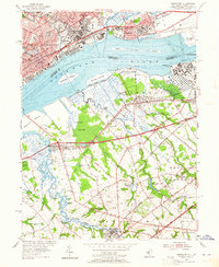
Other maps of this area

1890 · Salem
USGS Topo · 1:62,500

1890 · Glassboro
USGS Topo · 1:62,500

1891 · Philadelphia
USGS Topo · 1:62,500

1894 · Chester
USGS Topo · 1:62,500

1894 · Philadelphia
USGS Topo · 1:62,500

1896 · Philadelphia
USGS Topo · 1:62,500

1896 · Chester
USGS Topo · 1:62,500

1898 · Salem
USGS Topo · 1:62,500

1898 · Glassboro
USGS Topo · 1:62,500

1898 · Chester
USGS Topo · 1:62,500