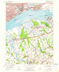
1953 Map of Bridgeport
USGS Topo · Published 1964About this map
Delaware River industry and heavy transit dominate this mid-century landscape, which straddles the state line between Pennsylvania and New Jersey. The northern shore is anchored by the dense urban grid of Chester, featuring cultural and educational landmarks such as the Pennsylvania Military College and Crozier Seminary. Along the riverbank, the Industrial Highway connects maritime and manufacturing hubs like Eddystone and Essington, while the large, idle site of the Hog Island Shipyard marks the eastern edge of the Pennsylvania side.
Find a feature on this map
77 named features on this map. Tap any name to fly to it.
Don’t see what you’re looking for? This feature index may not catch every label — zoom into the map to look around manually.
Map Details
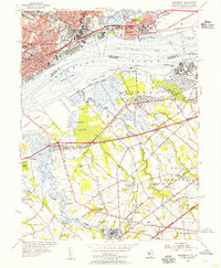
Editions of this 1953 Bridgeport Map
2 editions found
Other maps of this area

1890 · Salem
USGS Topo · 1:62,500

1890 · Glassboro
USGS Topo · 1:62,500

1891 · Philadelphia
USGS Topo · 1:62,500

1894 · Chester
USGS Topo · 1:62,500

1894 · Philadelphia
USGS Topo · 1:62,500

1896 · Philadelphia
USGS Topo · 1:62,500

1896 · Chester
USGS Topo · 1:62,500

1898 · Salem
USGS Topo · 1:62,500

1898 · Glassboro
USGS Topo · 1:62,500

1898 · Chester
USGS Topo · 1:62,500