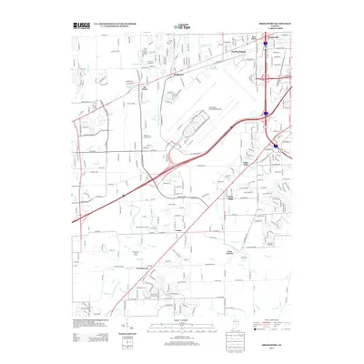
2013 Map of Bridgeport
USGS Topo · Published 2013About this map
Indianapolis International Airport dominates the central landscape of this Marion County quadrangle, showing its modern footprint and surrounding infrastructure at the start of the 2010s. The area maintains its character as a transition between urban expansion and suburban communities, with several distinct settlements anchored along the regional drainage network. The East Fork White Lick Cr and Dollar Hide Cr define the hydrological landscape, while a dense grid of local roads like W Mooresville Rd and Stafford Rd connects established residential clusters.
Find a feature on this map
105 named features on this map. Tap any name to fly to it.
Don’t see what you’re looking for? This feature index may not catch every label — zoom into the map to look around manually.
Map Details
Editions of this 2013 Bridgeport Map
This is the sole edition of this map. No revisions or reprints were ever made.
Other maps of this area

1948 · Maywood
USGS Topo · 1:24,000

1948 · Indianapolis West
USGS Topo · 1:24,000

1952 · Bargersville
USGS Topo · 1:24,000

1953 · Bridgeport
USGS Topo · 1:24,000

1953 · Brownsburg
USGS Topo · 1:24,000

1953 · Plainfield
USGS Topo · 1:24,000

1953 · Clermont
USGS Topo · 1:24,000

1953 · Indianapolis
USGS Topo · 1:250,000

1955 · Mooresville West
USGS Topo · 1:24,000

1955 · Mooresville East
USGS Topo · 1:24,000