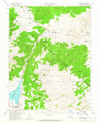
1958 Map of Bridgeport
USGS Topo · Published 1965About this map
Bridgeport sits at the southwestern edge of this survey, serving as a hub for the high-altitude ranching and mining country along the Nevada California border. The landscape is defined by the massive Bridgeport Reservoir and the winding East Walker River, which provided the essential water for remote outposts like Sweetwater Ranch and Bavenel Ranch.
Find a feature on this map
69 named features on this map. Tap any name to fly to it.
Don’t see what you’re looking for? This feature index may not catch every label — zoom into the map to look around manually.
Map Details
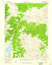
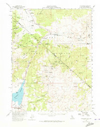
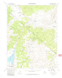
Editions of this 1958 Bridgeport Map
4 editions found
Other maps of this area

1891 · Wellington
USGS Topo · 1:125,000

1893 · Wellington
USGS Topo · 1:125,000

1909 · Hawthorne
USGS Topo · 1:250,000

1909 · Bridgeport
USGS Topo · 1:125,000

1911 · Bridgeport
USGS Topo · 1:125,000

1911 · Hawthorne
USGS Topo · 1:250,000

1915 · Hawthorne
USGS Topo · 1:250,000

1920 · Bridgeport
USGS Topo · 1:125,000

1948 · Walker Lake
USGS Topo · 1:250,000

1956 · Mt. Grant
USGS Topo · 1:62,500