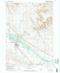
1965 Map of Bridgeport
USGS Topo · Published 1967About this map
The North Platte River carves a wide path through this Nebraska landscape, serving as the central artery for a complex system of irrigation and transport. On its southern bank, the town of Bridgeport serves as a significant rail junction where the Union Pacific meets the Chicago Burlington and Quincy RR. To the north, the smaller settlement of Northport sits near Camp Clarke, while the surrounding plains are marked by a network of engineered waterways including the Northport Canal and Browns Creek Canal.
Find a feature on this map
36 named features on this map. Tap any name to fly to it.
Don’t see what you’re looking for? This feature index may not catch every label — zoom into the map to look around manually.
Map Details
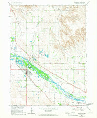
Editions of this 1965 Bridgeport Map
2 editions found
Other maps of this area

1896 · Browns Creek
USGS Topo · 1:125,000

1898 · Camp Clarke
USGS Topo · 1:125,000

1899 · Browns Creek
USGS Topo · 1:125,000

1949 · Lynn
USGS Topo · 1:62,500

1954 · Scottsbluff
USGS Topo · 1:250,000

1958 · Scottsbluff
USGS Topo · 1:250,000

1965 · Bridgeport NW
USGS Topo · 1:24,000

1965 · Angora SE
USGS Topo · 1:24,000

1965 · Courthouse Rock
USGS Topo · 1:24,000

1965 · Broadwater NW
USGS Topo · 1:24,000