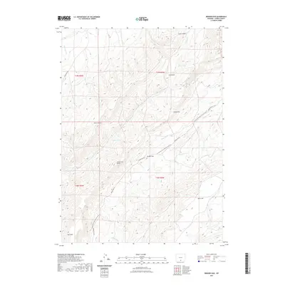
2021 Map of Bridger Pass
USGS Topo · Published 2021About this map
Continental Divide crests through this high-desert portion of Carbon County, marking a fundamental hydrologic boundary in the American West. The landscape is defined by the Atlantic Rim and the historic transit point at Bridger Pass, a name synonymous with early overland travel and frontier exploration. Modern recreation and heritage conservation are evident in the path of the Continental Divide National Scenic Trl, which winds through the basin and range terrain alongside older routes like Bridger Pass Rd and Twenty Mile Rd. Seasonal watercourses such as Separation Cr, Emigrant Cr, and McKinney Cr drain the steep topography around Miller Hill and Jep Canyon, illustrating the challenging environment faced by those navigating the pass during the nineteenth-century migration era.
Find a feature on this map
22 named features on this map. Tap any name to fly to it.
Don’t see what you’re looking for? This feature index may not catch every label — zoom into the map to look around manually.
Map Details
Editions of this 2021 Bridger Pass Map
This is the sole edition of this map. No revisions or reprints were ever made.
Other maps of this area

1932 · Savery
USGS Topo · 1:96,000

1940 · Savery
USGS Topo · 1:125,000

1954 · Rawlins
USGS Topo · 1:250,000

1956 · Bridger Pass
USGS Topo · 1:62,500

1957 · Doty Mountain
USGS Topo · 1:62,500

1958 · Rawlins
USGS Topo · 1:250,000

1961 · Pine Grove Ranch
USGS Topo · 1:24,000

1961 · Pole Gulch
USGS Topo · 1:24,000

1962 · Rawlins
USGS Topo · 1:250,000

1966 · Riner
USGS Topo · 1:24,000