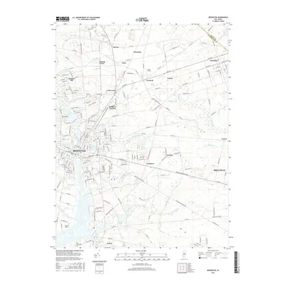
2016 Map of Bridgeton
USGS Topo · Published 2016About this map
The Cohansey River winds through this Cumberland County landscape, anchoring the city of Bridgeton and its surrounding agricultural and residential communities. In the southern reaches, the settlement of Fairton sits near Mill Creek and the Old Presbyterian Cemetery, while the northern area is defined by a network of smaller hamlets including Big Oak, Orchard Center, and Finley. The topography is marked by numerous water bodies like Sunset Lake, East Lake, and Clarks Pond, alongside smaller tributaries such as Rocaps Run and Indian Fields Branch.
Find a feature on this map
143 named features on this map. Tap any name to fly to it.
Don’t see what you’re looking for? This feature index may not catch every label — zoom into the map to look around manually.
Map Details
Editions of this 2016 Bridgeton Map
This is the sole edition of this map. No revisions or reprints were ever made.
Other maps of this area

1890 · Salem
USGS Topo · 1:62,500

1890 · Bay Side
USGS Topo · 1:62,500

1890 · Bridgeton
USGS Topo · 1:62,500

1890 · Glassboro
USGS Topo · 1:62,500

1894 · Bay Side
USGS Topo · 1:62,500

1894 · Bridgeton
USGS Topo · 1:62,500

1898 · Salem
USGS Topo · 1:62,500

1898 · Glassboro
USGS Topo · 1:62,500

1899 · Vineland
USGS Topo · 1:125,000

1901 · Camden
USGS Topo · 1:125,000