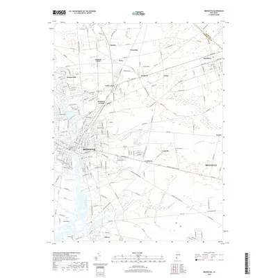
2019 Map of Bridgeton
USGS Topo · Published 2019About this map
The Cumberland County Courthouse stands as the civic heart of Bridgeton, anchoring a landscape where the Cohansey River meets a network of historic farming communities and early industrial sites. The map documents the transition from urban centers like Millville to rural hamlets such as Gouldtown and Fairton. Water power and recreation are central to the region's character, evidenced by Sunset Lake, Mary Elmer Lake, and Eddy Pond.
Find a feature on this map
199 named features on this map. Tap any name to fly to it.
Don’t see what you’re looking for? This feature index may not catch every label — zoom into the map to look around manually.
Map Details
Editions of this 2019 Bridgeton Map
This is the sole edition of this map. No revisions or reprints were ever made.
Other maps of this area

1890 · Salem
USGS Topo · 1:62,500

1890 · Bay Side
USGS Topo · 1:62,500

1890 · Bridgeton
USGS Topo · 1:62,500

1890 · Glassboro
USGS Topo · 1:62,500

1894 · Bay Side
USGS Topo · 1:62,500

1894 · Bridgeton
USGS Topo · 1:62,500

1898 · Salem
USGS Topo · 1:62,500

1898 · Glassboro
USGS Topo · 1:62,500

1899 · Vineland
USGS Topo · 1:125,000

1901 · Camden
USGS Topo · 1:125,000