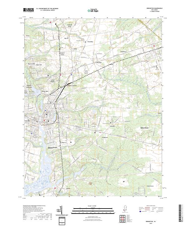
2023 Map of Bridgeton
USGS Topo · Published 2023About this map
Bridgeton and its surrounding agricultural and industrial landscape are documented in this 2023 survey of southern New Jersey. The city serves as a focal point where the Cohansey River meets a network of creeks and runs, including Indian Fields Branch and Ricaps Run. The map highlights a long history of community life through its numerous religious and memorial sites, such as the Old Broad Street Presbyterian Church Cem and the First United Methodist Churchyard.
Find a feature on this map
212 named features on this map. Tap any name to fly to it.
Don’t see what you’re looking for? This feature index may not catch every label — zoom into the map to look around manually.
Map Details
Editions of this 2023 Bridgeton Map
This is the sole edition of this map. No revisions or reprints were ever made.
Other maps of this area

1890 · Salem
USGS Topo · 1:62,500

1890 · Bay Side
USGS Topo · 1:62,500

1890 · Bridgeton
USGS Topo · 1:62,500

1890 · Glassboro
USGS Topo · 1:62,500

1894 · Bay Side
USGS Topo · 1:62,500

1894 · Bridgeton
USGS Topo · 1:62,500

1898 · Salem
USGS Topo · 1:62,500

1898 · Glassboro
USGS Topo · 1:62,500

1899 · Vineland
USGS Topo · 1:125,000

1901 · Camden
USGS Topo · 1:125,000