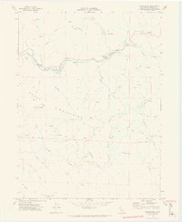
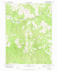
1969 Map of Bridgeville
USGS Topo · Published 1974About this map
The Van Duzen River carves a winding path through this corner of Humboldt County, defining the local settlement patterns near the tiny community of Bridgeville. The terrain is dominated by the steep rises of the Chalk Mountains and Chalk Ridge, with landmarks like Mt Baldy and Schoolhouse Hill framing the narrow valleys. The presence of a Fire Control Station and a Substation near the river indicates the infrastructure supporting this timber and ranching country in the late 1960s.
Find a feature on this map
42 named features on this map. Tap any name to fly to it.
Don’t see what you’re looking for? This feature index may not catch every label — zoom into the map to look around manually.
Map Details
Editions of this 1969 Bridgeville Map
2 editions found
Other maps of this area

1914 · Pilot Creek
USGS Topo · 1:62,500

1915 · Big Bar and Vicinity
USGS Topo · 1:250,000

1921 · Dyerville
USGS Topo · 1:62,500

1922 · Kneeland
USGS Topo · 1:62,500

1949 · Blocksburg
USGS Topo · 1:62,500

1949 · Weott
USGS Topo · 1:62,500

1950 · Iaqua Buttes
USGS Topo · 1:62,500

1951 · Weott
USGS Topo · 1:62,500

1951 · Blocksburg
USGS Topo · 1:62,500

1951 · Pilot Creek
USGS Topo · 1:62,500