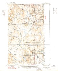
1938 Map of Bridgewater
USGS Topo · Published 1948About this map
The Bangor and Aroostook railroad defines the transportation corridor of eastern Aroostook County, linking the agricultural settlements of Monticello and Bridgewater to the regional economy. This 1930s landscape is meticulously documented, showing a dense network of rural infrastructure from Snow Settlement to Jewells Corner. The proximity to the international border is highlighted by several U S Customs stations, marking the points where roads like the Montieth Road meet the boundary between Maine and New Brunswick.
Find a feature on this map
91 named features on this map. Tap any name to fly to it.
Don’t see what you’re looking for? This feature index may not catch every label — zoom into the map to look around manually.
Map Details
Editions of this 1938 Bridgewater Map
3 editions found
Other maps of this area

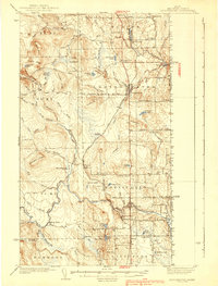
1934 · Bridgewater
USGS Topo · 1:48,000

1935 · Howe Brook
USGS Topo · 1:48,000

1935 · Presque Isle
USGS Topo · 1:62,500

1936 · Mars Hill
USGS Topo · 1:48,000

1937 · Smyrna Mills
USGS Topo · 1:62,500

1938 · Bridgewater
USGS Topo · 1:62,500

1938 · Houlton
USGS Topo · 1:62,500

1939 · Howe Brook
USGS Topo · 1:62,500

1940 · Mars Hill
USGS Topo · 1:62,500

1951 · Mars Hill
USGS Topo · 1:62,500