
1938 Map of Bridgewater
USGS Topo · Published 1938About this map
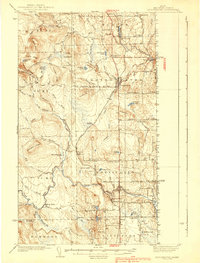
The Meduxnekeag River valley and its surrounding timber and potato lands define this 1934 survey of eastern Aroostook County. The landscape is marked by the close relationship between international trade and local rail infrastructure, anchored by the Bangor and Ar00stook railroad. Key settlements such as Monticello and Bridgewater serve as commercial hubs, with Monticello Sta and multiple U S Customs posts highlighting the region's importance on the border of Maine and New Brunswick.
Find a feature on this map
96 named features on this map. Tap any name to fly to it.
Don’t see what you’re looking for? This feature index may not catch every label — zoom into the map to look around manually.
Map Details
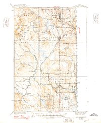
Editions of this 1938 Bridgewater Map
3 editions found
Other maps of this area

1934 · Bridgewater
USGS Topo · 1:48,000

1935 · Howe Brook
USGS Topo · 1:48,000

1935 · Presque Isle
USGS Topo · 1:62,500

1936 · Mars Hill
USGS Topo · 1:48,000

1937 · Smyrna Mills
USGS Topo · 1:62,500

1938 · Houlton
USGS Topo · 1:62,500

1939 · Howe Brook
USGS Topo · 1:62,500

1940 · Mars Hill
USGS Topo · 1:62,500

1951 · Mars Hill
USGS Topo · 1:62,500

1951 · Houlton
USGS Topo · 1:62,500