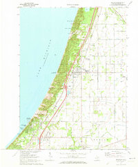
1970 Map of Bridgman
USGS Topo · Published 1973About this map
Lake Michigan's eastern shoreline dominates this 1970 landscape, where towering sand formations like Great Warren Dune and Pikes Peak define the boundary between the water and the inland orchards and woodlots. The town of Bridgman serves as a central hub, situated along the Chesapeake and Ohio railroad corridor. The era is marked by the establishment of Warren Dunes State Park, preserving a massive stretch of the lakefront that includes Weko Beach Recreational Area and Mt Edward.
Find a feature on this map
60 named features on this map. Tap any name to fly to it.
Don’t see what you’re looking for? This feature index may not catch every label — zoom into the map to look around manually.
Map Details
Editions of this 1970 Bridgman Map
2 editions found
Other maps of this area
1927 · Niles
USGS Topo · 1:62,500
1927 · Benton Harbor
USGS Topo · 1:62,500
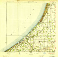
1930 · Three Oaks
USGS Topo · 1:62,500
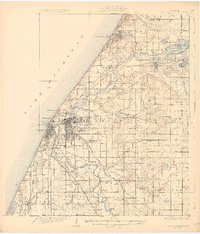
1930 · Benton Harbor
USGS Topo · 1:62,500
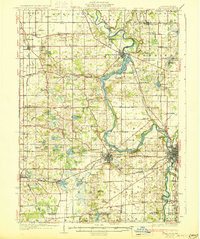
1930 · Niles
USGS Topo · 1:62,500
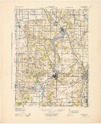
1943 · Niles
USGS Topo · 1:62,500
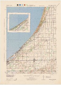
1944 · Three Oaks
USGS Topo · 1:62,500

1953 · Chicago
USGS Topo · 1:250,000

1957 · Chicago
USGS Topo · 1:250,000
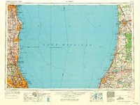
1958 · Racine
USGS Topo · 1:250,000