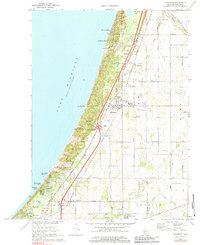
1970 Map of Bridgman
USGS Topo · Published 1984About this map
Warren Dunes State Park dominates the Lake Michigan shoreline in this 1970 survey, preserving a dramatic landscape of coastal formations including Great Warren Dune and Mt Randall. This corridor between the dunes and the inland farming communities of Lincoln and Chikaming is defined by a tight infrastructure network, where the Red Arrow Highway and the Chesapeake and Ohio Railroad parallel the coast. These routes linked lakeside retreats like Waverland Beach and Bethany Beach with industrial and agricultural hubs.
Find a feature on this map
67 named features on this map. Tap any name to fly to it.
Don’t see what you’re looking for? This feature index may not catch every label — zoom into the map to look around manually.
Map Details
Editions of this 1970 Bridgman Map
2 editions found
Other maps of this area

1927 · Niles
USGS Topo · 1:62,500

1927 · Benton Harbor
USGS Topo · 1:62,500

1930 · Three Oaks
USGS Topo · 1:62,500

1930 · Benton Harbor
USGS Topo · 1:62,500

1930 · Niles
USGS Topo · 1:62,500

1943 · Niles
USGS Topo · 1:62,500

1944 · Three Oaks
USGS Topo · 1:62,500

1953 · Chicago
USGS Topo · 1:250,000

1957 · Chicago
USGS Topo · 1:250,000

1958 · Racine
USGS Topo · 1:250,000