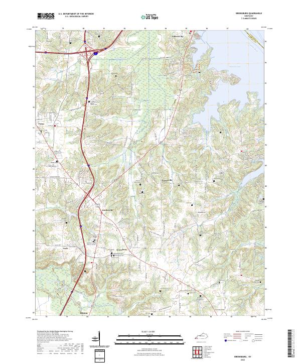
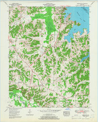
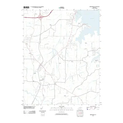
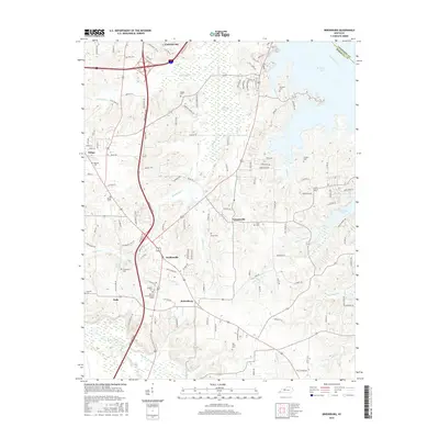
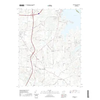
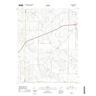
2022 Map of Briensburg
USGS Topo · Published 2022About this map
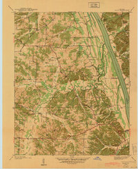
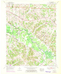
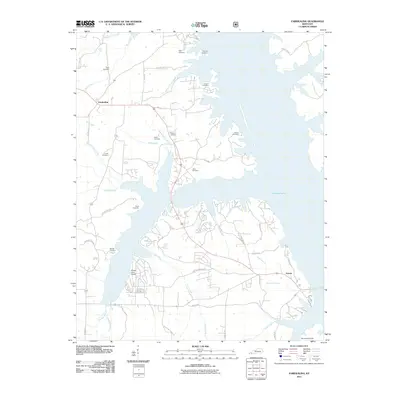
Kentucky Lake and the Tennessee River dominate the eastern edge of this Marshall County landscape, where the waters meet a series of wooded ridges and creek bottoms. The area is characterized by a dense concentration of family and community burial grounds, including the Birmingham Cem and Briensburg Cem, which serve as vital touchstones for local genealogy. Major transit corridors like I-24 and I-69 intersect near Draffenville, reflecting the modern infrastructure that connects these historic rural communities.
Find a feature on this map
67 named features on this map. Tap any name to fly to it.
Don’t see what you’re looking for? This feature index may not catch every label — zoom into the map to look around manually.
Map Details
Editions of this 2022 Briensburg Map
This is the sole edition of this map. No revisions or reprints were ever made.
Historical Maps of Calvert City Through Time
33 maps found
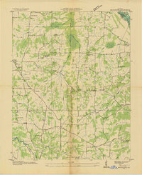
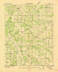
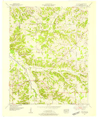
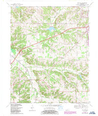
1936 Briensburg
Marshall County, KY
1936 Elva
Marshall County, KY
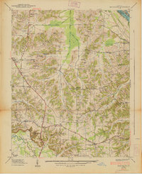
1936 Hiatt
Marshall County, KY
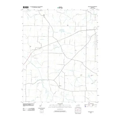
1936 Oak Level
Marshall County, KY
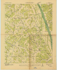
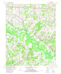
1938 Briensburg
Marshall County, KY
1940 Hiatt
Marshall County, KY
1951 Elva
Marshall County, KY
1951 Oak Level
Marshall County, KY
1955 Briensburg
Marshall County, KY
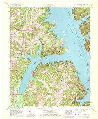
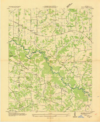
1955 Fairdealing
Marshall County, KY
1969 Briensburg
Marshall County, KY
1969 Oak Level
Marshall County, KY
1982 Elva
Marshall County, KY
2010 Briensburg
Marshall County, KY
2010 Elva
Marshall County, KY
2010 Oak Level
Marshall County, KY
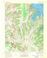
2011 Fairdealing
Marshall County, KY
2013 Briensburg
Marshall County, KY
2013 Elva
Marshall County, KY
2013 Fairdealing
Marshall County, KY
2013 Oak Level
Marshall County, KY
2016 Briensburg
Marshall County, KY

2016 Elva
Marshall County, KY
2016 Fairdealing
Marshall County, KY
2016 Oak Level
Marshall County, KY
2019 Briensburg
Marshall County, KY
2019 Elva
Marshall County, KY
2019 Fairdealing
Marshall County, KY
2019 Oak Level
Marshall County, KY
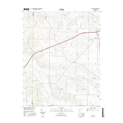
2022 Briensburg
Marshall County, KY
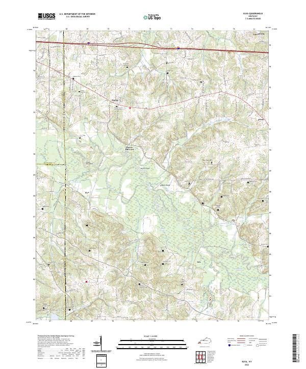
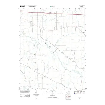
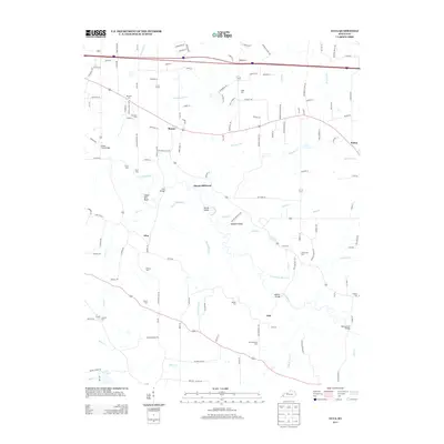
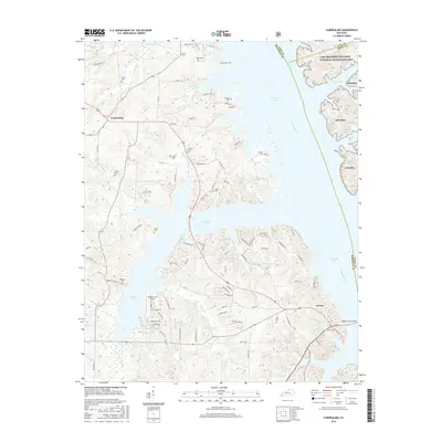
2022 Elva
Marshall County, KY
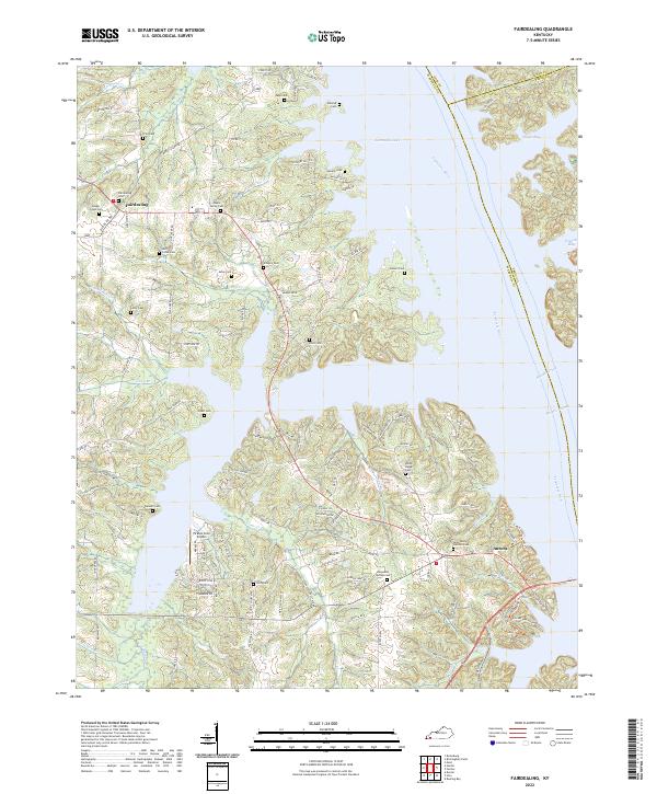
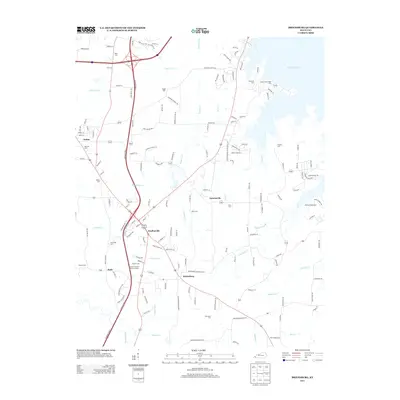
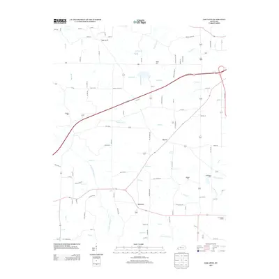
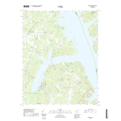
2022 Fairdealing
Marshall County, KY
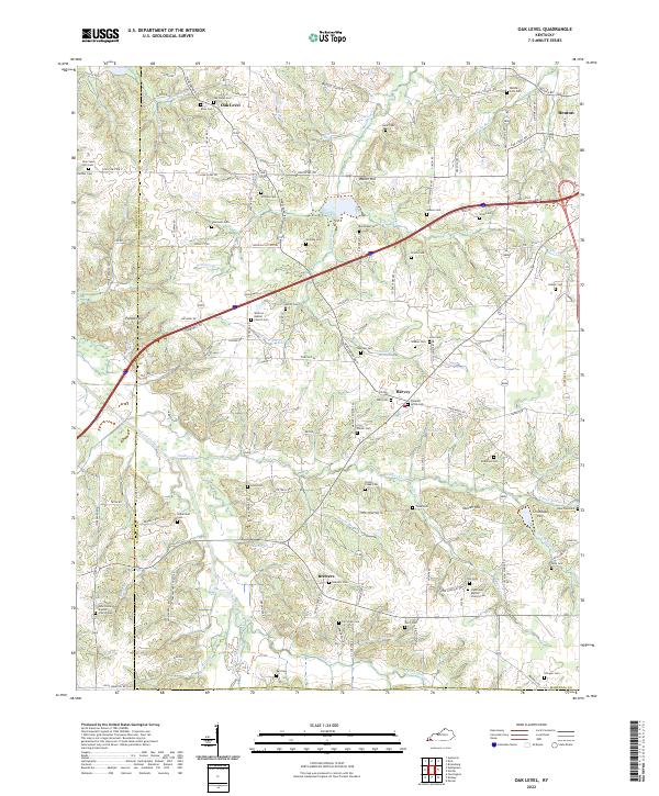
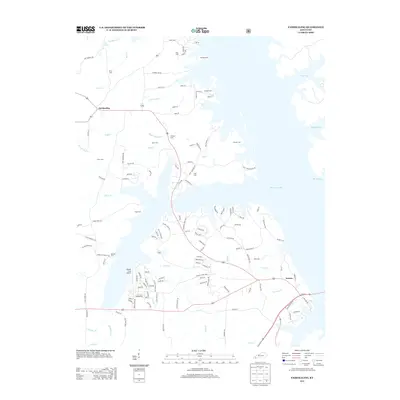
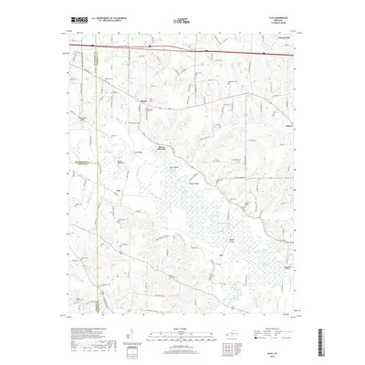
2022 Oak Level
Marshall County, KY