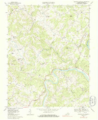
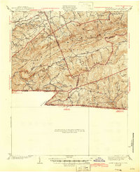
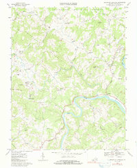
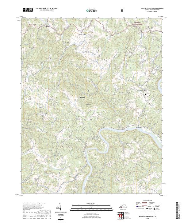
1967 Map of Brierpatch Mountain
USGS Topo · Published 1986About this map
The New River carves a deep path through this portion of Grayson County, defining the local topography and commerce in the late 1960s. The landscape is characterized by its numerous small-scale community centers and rural landmarks, such as Hacklers Store and the Clito Mill. A dense network of local churches serves as the social backbone of the area, including Jerusalem Ch, Pilgrims Rest Ch, and River Hill Ch. The presence of the Jefferson National Forest to the north and the prominent heights of Brierpatch Mountain highlight the transition from valley agriculture to wooded uplands. In the eastern corridor near the river, the transition from traditional rural life to modern leisure is visible in the presence of a Drive-in Theater and a Trailer Park near Providence.
Find a feature on this map
53 named features on this map. Tap any name to fly to it.
Don’t see what you’re looking for? This feature index may not catch every label — zoom into the map to look around manually.
Map Details
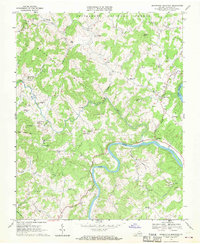
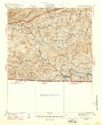
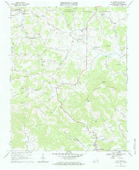
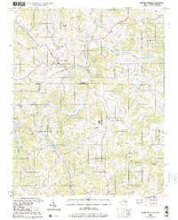
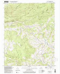
Editions of this 1967 Brierpatch Mountain Map
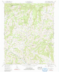
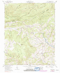
Historical Maps of Spring Valley Through Time
17 maps found
1935 Middle Fox Creek
Grayson County, VA

1935 Mount Rogers
Grayson County, VA

1935 Mouth of Wilson
Grayson County, VA
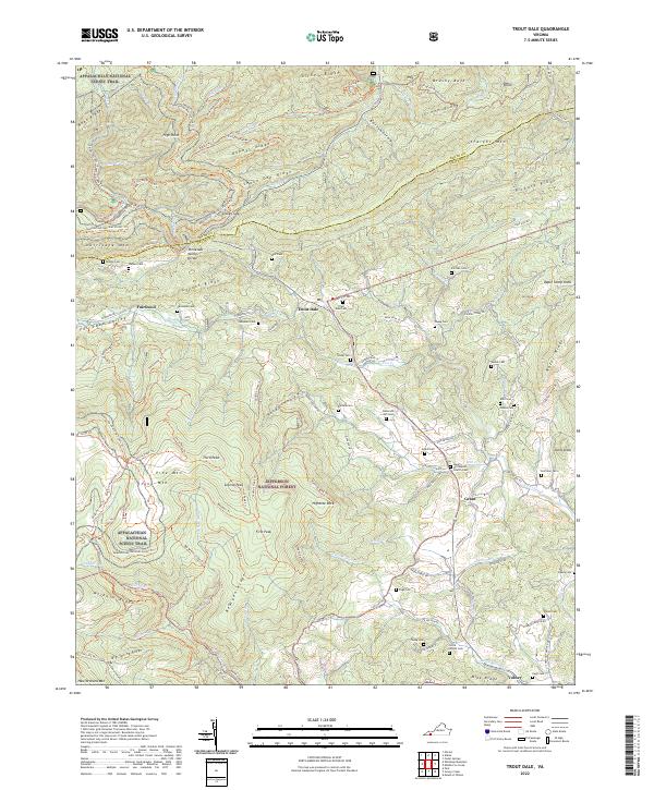
1935 Trout Dale
Grayson County, VA
1939 Mount Rogers
Grayson County, VA
1940 Mouth of Wilson
Grayson County, VA
1959 Middle Fox Creek
Grayson County, VA
1959 Trout Dale
Grayson County, VA
1967 Brierpatch Mountain
Grayson County, VA
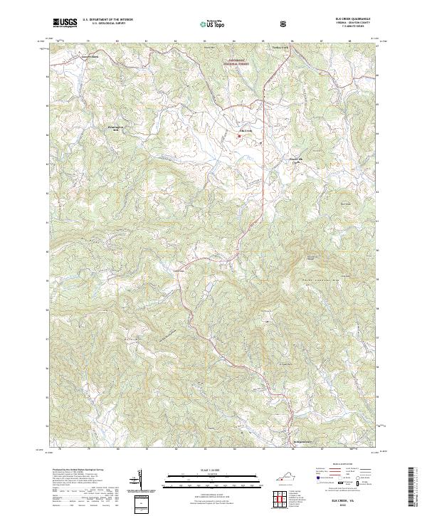
1967 Elk Creek
Grayson County, VA
2000 Mouth Of Wilson
Grayson County, VA
2000 Trout Dale
Grayson County, VA
2022 Brierpatch Mountain
Grayson County, VA
2022 Elk Creek
Grayson County, VA
2022 Middle Fox Creek
Grayson County, VA
2022 Mouth of Wilson
Grayson County, VA
2022 Trout Dale
Grayson County, VA