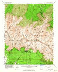
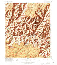
1962 Map of Bright Angel
USGS Topo · Published 1964About this map
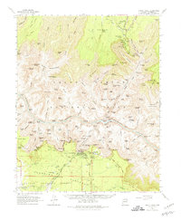
Colorado River rapids and the labyrinthine drainage system of the Kaibab National Forest define this 1960s-era topographic survey. Centered on the inner gorge, the map details the infrastructure that supported mid-century tourism and backcountry travel, from the Visitor Center and El Tovar Hotel at Grand Canyon to the isolated Phantom Ranch on the river floor. The intricate network of footpaths, including the Bright Angel Trail, South Kaibab Trail, and Tonto Trail, connects the rim-based facilities with remote water sources like Roaring Springs and Ribbon Falls.
Find a feature on this map
110 named features on this map. Tap any name to fly to it.
Don’t see what you’re looking for? This feature index may not catch every label — zoom into the map to look around manually.
Map Details
Editions of this 1962 Bright Angel Map
7 editions found

Other maps of this area

1886 · San Francisco Mtns
USGS Topo · 1:250,000

1886 · Chino
USGS Topo · 1:250,000

1886 · Echo Cliffs
USGS Topo · 1:250,000

1886 · Kaibab
USGS Topo · 1:250,000

1891 · San Francisco Mtns
USGS Topo · 1:250,000

1891 · Chino
USGS Topo · 1:250,000

1891 · Echo Cliffs
USGS Topo · 1:250,000

1894 · San Francisco Mtns
USGS Topo · 1:250,000

1899 · San Francisco Mtns
USGS Topo · 1:250,000

1903 · Bright Angel
USGS Topo · 1:48,000