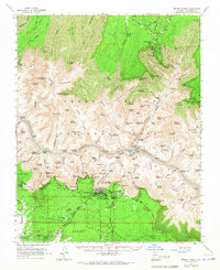
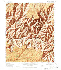
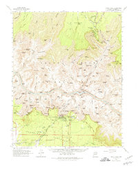
1962 Map of Bright Angel
USGS Topo · Published 1967About this map
Grand Canyon village and the surrounding Kaibab National Forest are shown here as they appeared in the early 1960s, documenting the early tourism infrastructure of the South Rim. This survey captures the specialized transit and service network of the canyon floor, including the Phantom Ranch outpost and the Bright Angel Trail winding toward the Colorado River. Cultural landmarks like the Lookout Studio and Yavapai Museum are established, reflecting the era's focus on visitor education and canyon vistas.
Find a feature on this map
57 named features on this map. Tap any name to fly to it.
Don’t see what you’re looking for? This feature index may not catch every label — zoom into the map to look around manually.
Map Details
Editions of this 1962 Bright Angel Map
7 editions found

Other maps of this area

1886 · San Francisco Mtns
USGS Topo · 1:250,000

1886 · Chino
USGS Topo · 1:250,000

1886 · Echo Cliffs
USGS Topo · 1:250,000

1886 · Kaibab
USGS Topo · 1:250,000

1891 · San Francisco Mtns
USGS Topo · 1:250,000

1891 · Chino
USGS Topo · 1:250,000

1891 · Echo Cliffs
USGS Topo · 1:250,000

1894 · San Francisco Mtns
USGS Topo · 1:250,000

1899 · San Francisco Mtns
USGS Topo · 1:250,000

1903 · Bright Angel
USGS Topo · 1:48,000