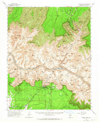
1962 Map of Bright Angel
USGS Topo · Published 1965About this map
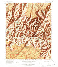
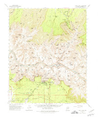
Grand Canyon village serves as the southern gateway in this early 1960s survey, where the terminal of the Atchison Topeka and Santa Fe Railroad meets the legendary El Tovar Hotel. The map documents the intricate network of canyon descent routes, including the Bright Angel Trail and the Kaibab Trail, which converge at the Colorado River near Phantom Ranch. The verticality of the terrain is defined by dramatic named features like Cheops Pyramid, Shiva Temple, and Zoroaster Temple, illustrating the early 20th-century naming conventions that favored mythological and monumental themes.
Find a feature on this map
114 named features on this map. Tap any name to fly to it.
Don’t see what you’re looking for? This feature index may not catch every label — zoom into the map to look around manually.
Map Details
Editions of this 1962 Bright Angel Map
7 editions found

Other maps of this area

1886 · San Francisco Mtns
USGS Topo · 1:250,000

1886 · Chino
USGS Topo · 1:250,000

1886 · Echo Cliffs
USGS Topo · 1:250,000

1886 · Kaibab
USGS Topo · 1:250,000

1891 · San Francisco Mtns
USGS Topo · 1:250,000

1891 · Chino
USGS Topo · 1:250,000

1891 · Echo Cliffs
USGS Topo · 1:250,000

1894 · San Francisco Mtns
USGS Topo · 1:250,000

1899 · San Francisco Mtns
USGS Topo · 1:250,000

1903 · Bright Angel
USGS Topo · 1:48,000