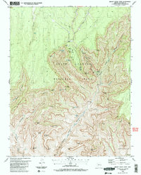
1988 Map of Bright Angel Point
USGS Topo · Published 1988About this map
North Rim serves as the focal point for this 1980s study of Grand Canyon National Park, revealing a landscape where high-altitude meadows meet deep canyon systems. The map traces the descent from Harvey Meadow and the surrounding pine-clad plateaus into the sheer verticality of The Transept and Bright Angel Canyon. Distinctive geologic features are named with archaeological and mythological reverence, including the massive Buddha Temple, Brahma Temple, and Deva Temple.
Find a feature on this map
63 named features on this map. Tap any name to fly to it.
Don’t see what you’re looking for? This feature index may not catch every label — zoom into the map to look around manually.
Map Details
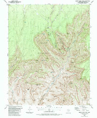
Editions of this 1988 Bright Angel Point Map
2 editions found
Other maps of this area

1886 · Echo Cliffs
USGS Topo · 1:250,000

1886 · Kaibab
USGS Topo · 1:250,000

1891 · Echo Cliffs
USGS Topo · 1:250,000

1903 · Bright Angel
USGS Topo · 1:48,000

1906 · Bright Angel
USGS Topo · 1:48,000

1907 · Vishnu
USGS Topo · 1:48,000

1953 · Grand Canyon
USGS Topo · 1:250,000

1954 · Nankoweap
USGS Topo · 1:62,500

1956 · Marble Canyon
USGS Topo · 1:250,000

1957 · Grand Canyon
USGS Topo · 1:250,000