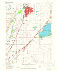
1965 Map of Brighton
USGS Topo · Published 1967About this map
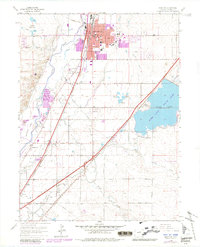
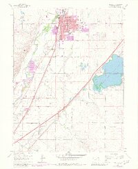
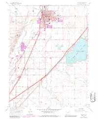
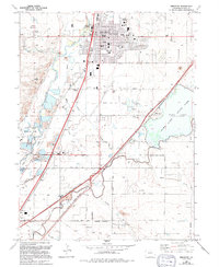
The agricultural and water management systems of Adams County dominate this mid-century survey, centered on the growing community of Brighton. A complex network of irrigation infrastructure, including the Fulton Ditch, Brighton Lateral, and O'Brian Canal, feeds the landscape surrounding the South Platte River. Significant water bodies like Barr Lake and the Stouffer Reservoirs underscore the region's reliance on managed water for its development.
Find a feature on this map
65 named features on this map. Tap any name to fly to it.
Don’t see what you’re looking for? This feature index may not catch every label — zoom into the map to look around manually.
Map Details
Editions of this 1965 Brighton Map
8 editions found
Other maps of this area

1890 · East Denver
USGS Topo · 1:125,000

1902 · Greeley
USGS Topo · 1:125,000

1938 · Derby
USGS Topo · 1:24,000

1938 · Long Branch
USGS Topo · 1:24,000

1940 · Brighton
USGS Topo · 1:31,680

1940 · Eastlake
USGS Topo · 1:31,680

1940 · Derby
USGS Topo · 1:31,680

1941 · Long Branch
USGS Topo · 1:31,680

1942 · Mile High Lakes
USGS Topo · 1:31,680

1942 · Box Elder School
USGS Topo · 1:31,680