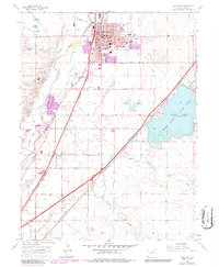
1965 Map of Brighton
USGS Topo · Published 1986About this map
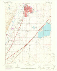
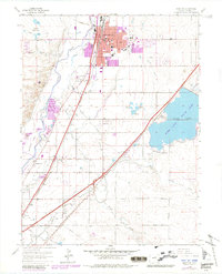
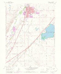
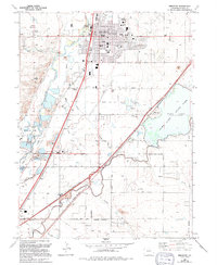
The South Platte River and its complex network of irrigation ditches define this agricultural landscape during a period of steady suburban transition. The city of Brighton serves as the regional hub, anchored by industrial sites and civic institutions like St Augustine Sch and the High Sch. To the east, the expansive Barr Lake and the newly designated Barr Lake State Park dominate the terrain, reflecting the area's dual utility for water storage and recreation. Transport corridors including the Union Pacific and Burlington Northern railroads parallel the river, connecting small settlements such as Henderson and Hazeltine to the broader regional economy. Traces of early pioneer history are visible in several burial grounds, including the Elmwood Cemetery and the smaller Black Cem, which sit alongside extensive water works like the Fulton Ditch and Brighton Ditch.
Find a feature on this map
58 named features on this map. Tap any name to fly to it.
Don’t see what you’re looking for? This feature index may not catch every label — zoom into the map to look around manually.
Map Details
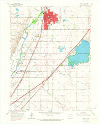
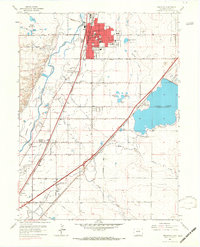
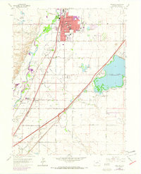
Editions of this 1965 Brighton Map
8 editions found
Other maps of this area

1890 · East Denver
USGS Topo · 1:125,000

1902 · Greeley
USGS Topo · 1:125,000

1938 · Derby
USGS Topo · 1:24,000

1938 · Long Branch
USGS Topo · 1:24,000

1940 · Brighton
USGS Topo · 1:31,680

1940 · Eastlake
USGS Topo · 1:31,680

1940 · Derby
USGS Topo · 1:31,680

1941 · Long Branch
USGS Topo · 1:31,680

1942 · Mile High Lakes
USGS Topo · 1:31,680

1942 · Box Elder School
USGS Topo · 1:31,680