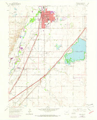
1965 Map of Brighton
USGS Topo · Published 1973About this map
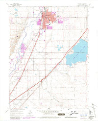
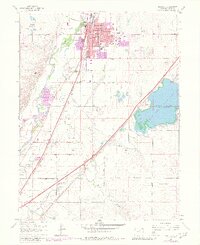
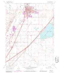
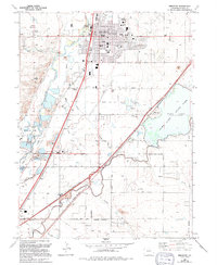
The South Platte River carves a fertile corridor through this Adams County landscape, defining a region where early irrigation networks and rail lines fostered agricultural growth. The Union Pacific railroad parallels the river, anchoring the town of Brighton as it expands southward toward Henderson. This map captures a transition as purple-tinted urban growth begins to push into traditional farmland, yet the underlying structure of the 1960s remains clear through features like the County Fairgrounds and the sprawling Barr Lake reservoir system.
Find a feature on this map
52 named features on this map. Tap any name to fly to it.
Don’t see what you’re looking for? This feature index may not catch every label — zoom into the map to look around manually.
Map Details
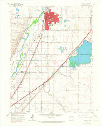
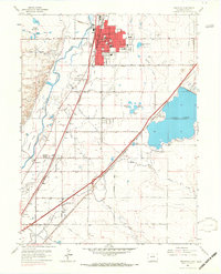
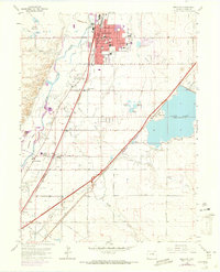
Editions of this 1965 Brighton Map
8 editions found
Other maps of this area

1890 · East Denver
USGS Topo · 1:125,000

1902 · Greeley
USGS Topo · 1:125,000

1938 · Derby
USGS Topo · 1:24,000

1938 · Long Branch
USGS Topo · 1:24,000

1940 · Brighton
USGS Topo · 1:31,680

1940 · Eastlake
USGS Topo · 1:31,680

1940 · Derby
USGS Topo · 1:31,680

1941 · Long Branch
USGS Topo · 1:31,680

1942 · Mile High Lakes
USGS Topo · 1:31,680

1942 · Box Elder School
USGS Topo · 1:31,680