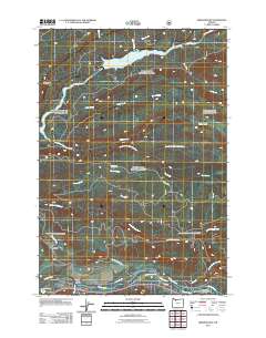
2011 Map of Brightwood
USGS Topo · Published 2011About this map
The Salmon River and Sandy River converge near Brightwood in this 2011 survey, marking a significant hydrologic junction in Clackamas County. This area represents a critical corridor for water management and transport, highlighted by the prominence of Bull Run Reservoir Number One and its feeding tributaries like Bear Creek and Deer Creek. The network of forest roads and historic routes, including E Barlow Trail Rd and Aschoff Rd, underscores the region's development along these river valleys.
Find a feature on this map
31 named features on this map. Tap any name to fly to it.
Don’t see what you’re looking for? This feature index may not catch every label — zoom into the map to look around manually.
Map Details
Editions of this 2011 Brightwood Map
This is the sole edition of this map. No revisions or reprints were ever made.
Other maps of this area

1916 · Estacada
USGS Topo · 1:125,000

1924 · Mount Hood
USGS Topo · 1:125,000

1926 · Hood River
USGS Topo · 1:125,000

1927 · Mount Hood
USGS Topo · 1:125,000

1929 · Hood River
USGS Topo · 1:125,000

1948 · Vancouver
USGS Topo · 1:250,000

1950 · Vancouver
USGS Topo · 1:250,000

1950 · Vancouver
USGS Topo · 1:250,000

1953 · The Dalles
USGS Topo · 1:250,000

1954 · Bridal Veil
USGS Topo · 1:62,500