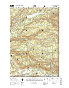
2017 Map of Brightwood
USGS Topo · Published 2017About this map
Mount Hood Village and the community of Brightwood anchor the southern edge of this landscape where the Sandy River meets the foothills of the Mount Hood National Forest. The area is characterized by a transition from residential pockets near Alder Creek to the protected watershed of Bull Run Reservoir Number One in the north. This reservoir is a critical component of the regional water system, fed by the Bull Run River and its tributaries like Deer Cr and Cougar Cr.
Find a feature on this map
50 named features on this map. Tap any name to fly to it.
Don’t see what you’re looking for? This feature index may not catch every label — zoom into the map to look around manually.
Map Details
Editions of this 2017 Brightwood Map
This is the sole edition of this map. No revisions or reprints were ever made.
Other maps of this area

1916 · Estacada
USGS Topo · 1:125,000

1924 · Mount Hood
USGS Topo · 1:125,000

1926 · Hood River
USGS Topo · 1:125,000

1927 · Mount Hood
USGS Topo · 1:125,000

1929 · Hood River
USGS Topo · 1:125,000

1948 · Vancouver
USGS Topo · 1:250,000

1950 · Vancouver
USGS Topo · 1:250,000

1950 · Vancouver
USGS Topo · 1:250,000

1953 · The Dalles
USGS Topo · 1:250,000

1954 · Bridal Veil
USGS Topo · 1:62,500