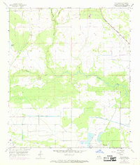
1956 Map of Brimstone
USGS Topo · Published 1968About this map
Industrial activity and water management define this portion of Calcasieu Parish as it appeared following mid-century surveys. The Sulphur Oil Field and Edgerly Oil Field dominate the southern landscape, reflecting the heavy extraction economy that shaped local development near the settlement of Brimstone. These industrial zones are surrounded by an intricate network of infrastructure, including a prominent pipeline system and the Kansas City Southern railroad cutting through the northeastern corner.
Find a feature on this map
15 named features on this map. Tap any name to fly to it.
Don’t see what you’re looking for? This feature index may not catch every label — zoom into the map to look around manually.
Map Details
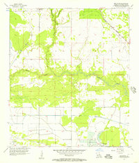
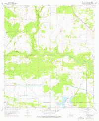
Editions of this 1956 Brimstone Map
3 editions found
Other maps of this area

1932 · Orange
USGS Topo · 1:62,500

1935 · Buhler
USGS Topo · 1:31,680

1935 · Gordon
USGS Topo · 1:31,680

1947 · Sulphur
USGS Topo · 1:31,680

1947 · Vinton
USGS Topo · 1:31,680

1947 · DeQuincy
USGS Topo · 1:31,680

1947 · Sulphur Mines
USGS Topo · 1:31,680
1947 · West Lake
USGS Topo · 1:31,680

1947 · Lunita
USGS Topo · 1:31,680

1947 · Long Marsh
USGS Topo · 1:31,680