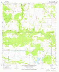
1956 Map of Brimstone
USGS Topo · Published 1976About this map
The extraction of natural resources defines this landscape in Calcasieu Parish during the mid-20th century. The Sulphur Oil Field and the Edgerly Oil Field are prominent features, signaling the region's industrial foundation alongside the settlement of Brimstone. These fields are situated in a lowland environment dominated by the Houston River and the man-made Houston River Canal, which cuts through the terrain to manage water flow in this swampy coastal plain.
Find a feature on this map
13 named features on this map. Tap any name to fly to it.
Don’t see what you’re looking for? This feature index may not catch every label — zoom into the map to look around manually.
Map Details
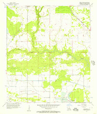
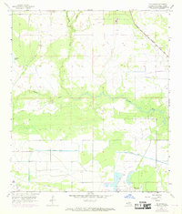
Editions of this 1956 Brimstone Map
3 editions found
Other maps of this area

1932 · Orange
USGS Topo · 1:62,500

1935 · Buhler
USGS Topo · 1:31,680

1935 · Gordon
USGS Topo · 1:31,680

1947 · Sulphur
USGS Topo · 1:31,680

1947 · Vinton
USGS Topo · 1:31,680

1947 · DeQuincy
USGS Topo · 1:31,680

1947 · Sulphur Mines
USGS Topo · 1:31,680
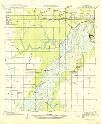
1947 · West Lake
USGS Topo · 1:31,680

1947 · Lunita
USGS Topo · 1:31,680

1947 · Long Marsh
USGS Topo · 1:31,680